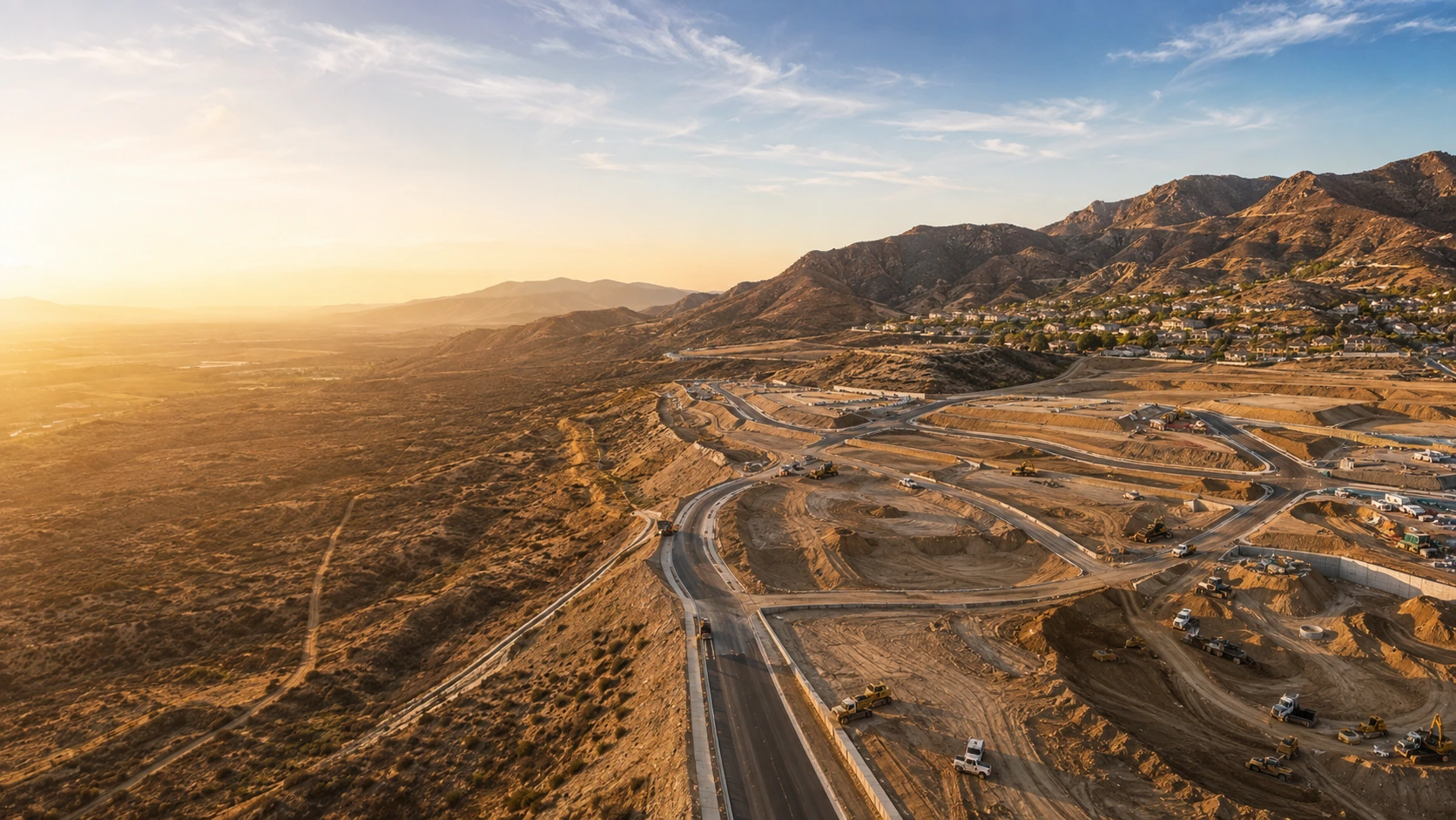
Site Design & Grading
Residential, commercial, industrial and conceptual site design with topography, grading and related plan support.
View services ↘ Get a Quote?
Civil Engineering · Land Surveying
JX2 coordinates site design, grading, drainage, infrastructure, surveying and agency support around the property and the next project milestone.
Jx2 Civil Design
Good site design starts with reliable information and a clear understanding of what the property needs next.
JX2 brings civil engineering, surveying and technical documentation into one coordinated workflow so decisions remain connected from existing conditions through review and construction support.
Services
Focused civil engineering and land surveying support organized around the property, jurisdiction and project scope.
Residential, commercial, industrial and conceptual site design with topography, grading and related plan support.
View services ↘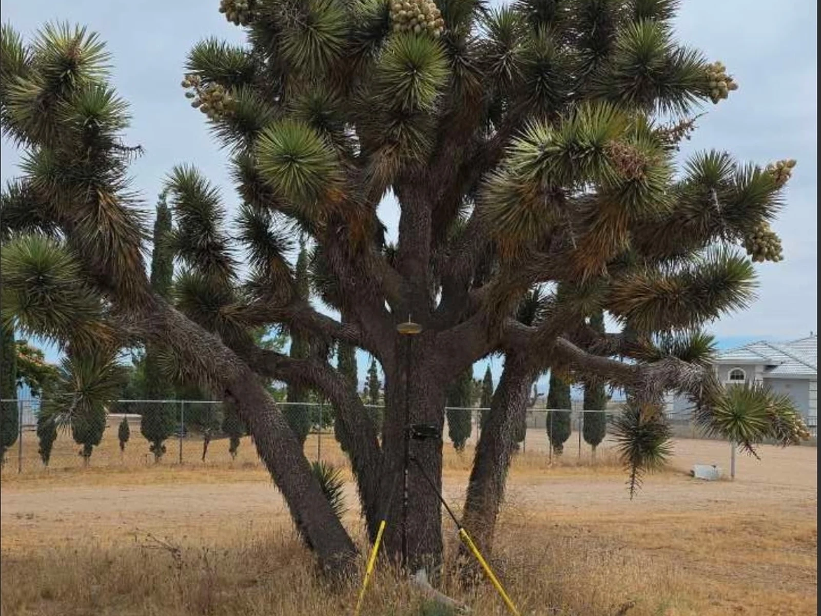
Joshua Tree/CDFW support, hydrology and drainage studies, WQMP/PCMP, certifications, septic, FEMA and stormwater support.
View services ↘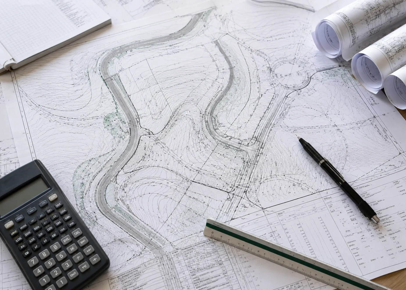
Water, sewer, street and storm-drain improvement plans plus onsite water and sewer planning.
View services ↘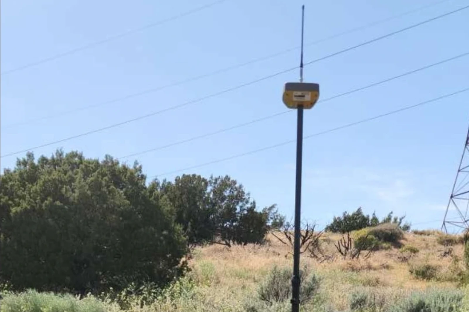
Boundary, topographic, recordation, parcel and tract mapping, legal descriptions, easements and ALTA/NSPS survey support.
View services ↘Project Support
JX2’s current scope supports site development, surveying, infrastructure and review needs. The exact path begins with the property and jurisdiction.
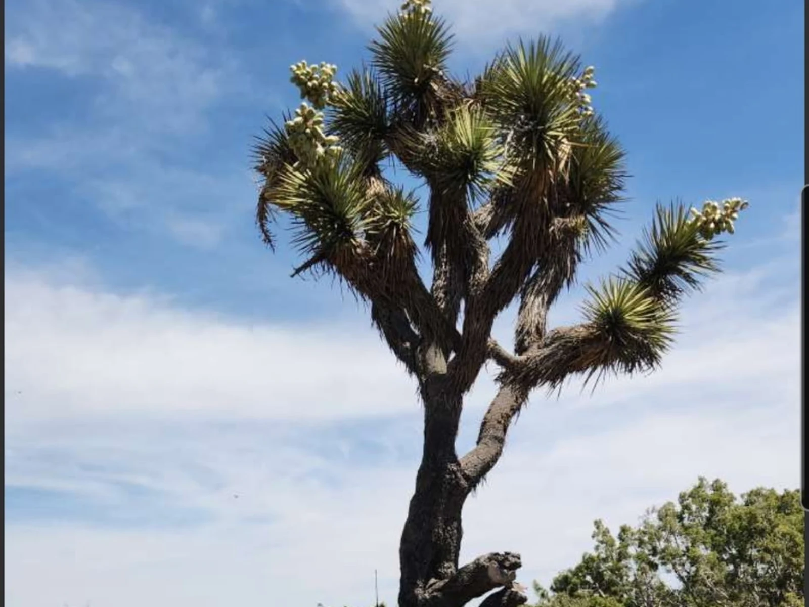
Grading, drainage, erosion control and improvement planning coordinated around the site.
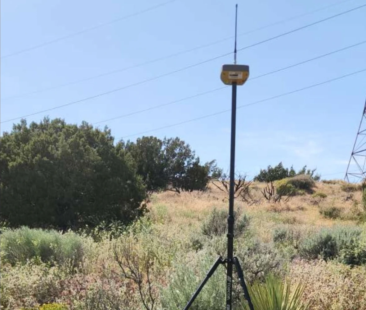
Reliable field information, boundary work, mapping and recordation to support project decisions.
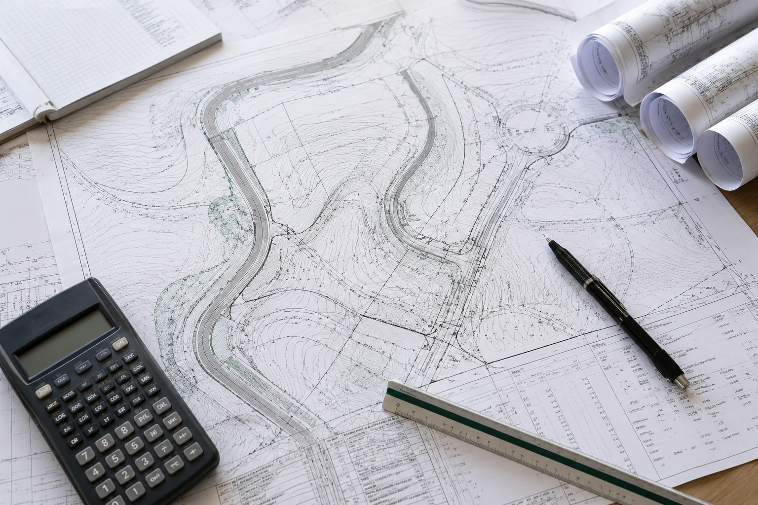
Technical plans, certifications and documentation organized around review and approval.
Technical Services
Open each group to review the services JX2 can provide for your property and project.
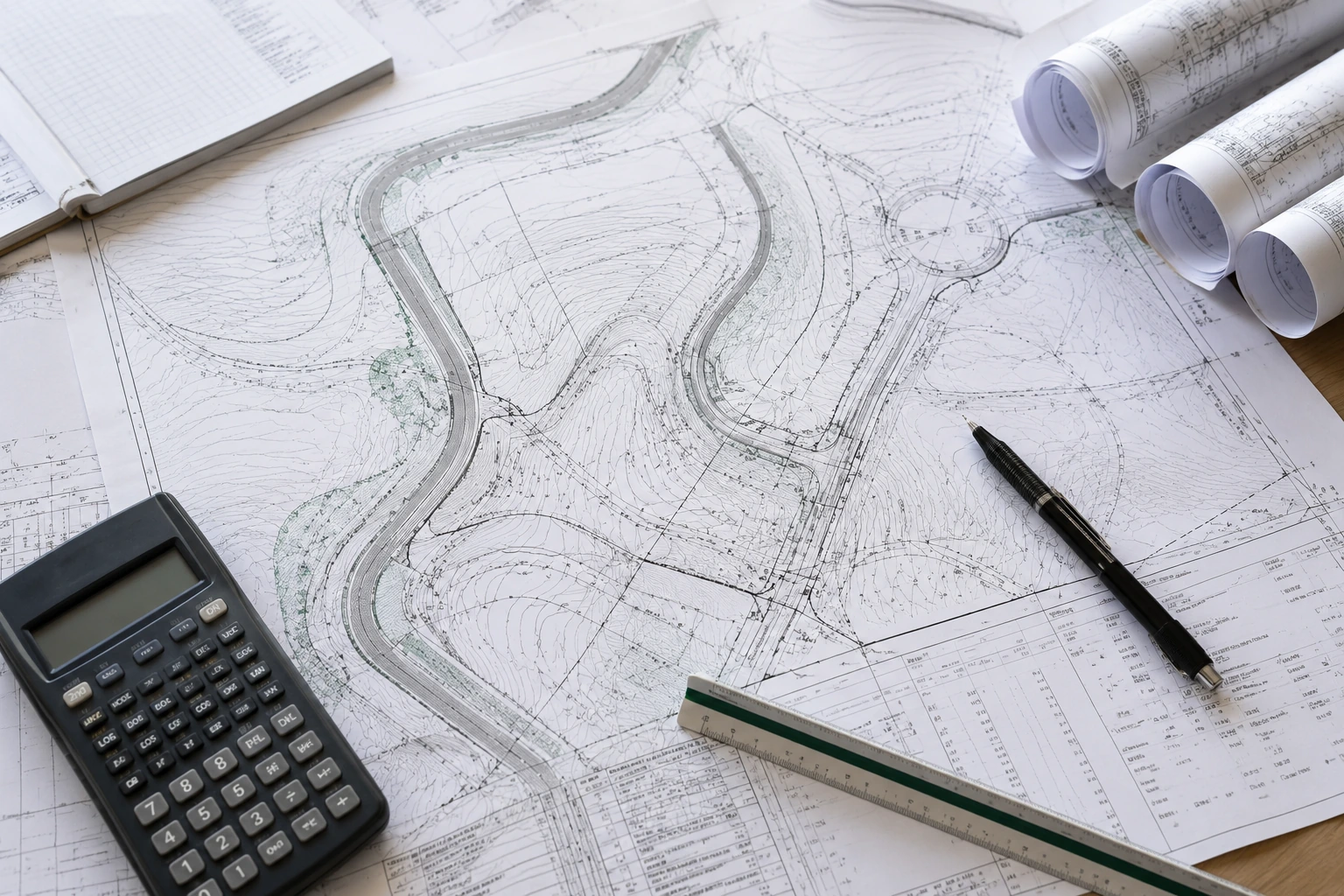
Plans that translate existing terrain and project intent into a practical, coordinated path to construction.
Studies, supporting reports, certifications and environmental coordination organized around agency review and site compliance.
Civil design support for public and private improvements connecting a property to surrounding systems.
Boundary, recordation and mapping support establishing reliable information from field conditions through property and entitlement decisions.
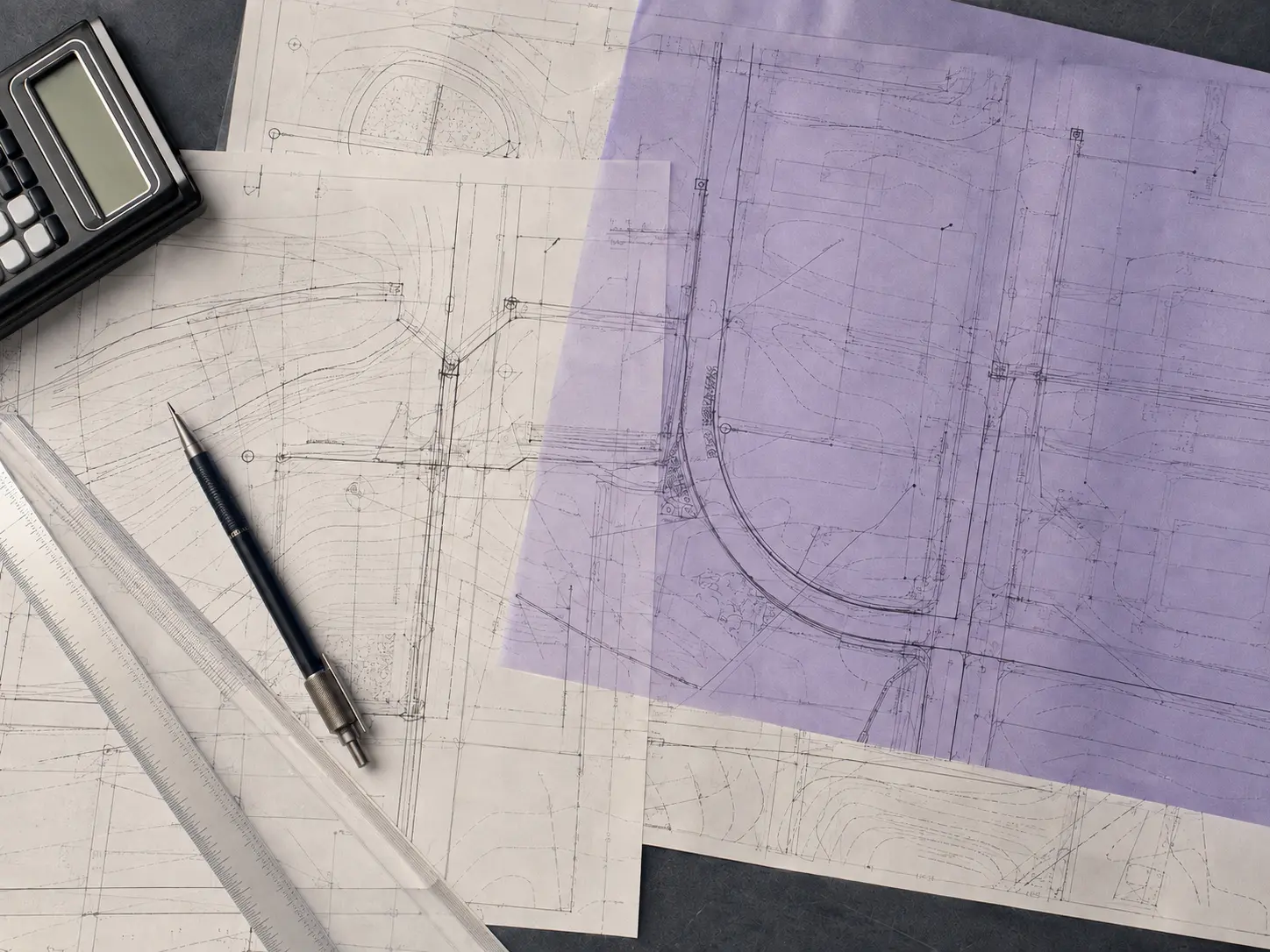
Approach
Property information, jurisdiction, records and field conditions shape the technical path.
Survey data, design details and review requirements stay connected instead of becoming isolated tasks.
Plans and documentation are organized around constructability, review and the next real decision.
How a Project Moves
Four stages keep the property information, design decisions and review work visible from the start.
Review the property, goals, jurisdiction, records and anticipated approvals.
Establish existing conditions and organize the information needed for informed design.
Develop coordinated plans around constructability, compliance and project intent.
Support review, respond to comments and carry the technical work toward the next milestone.
Start a Project
Share the location and proposed work. Even an early project can start with the basics.
Principal & Credentials
Over 20 years experience